
Blog
Georgian Military Highway: The Complete Driving Guide

The Georgian Military Highway is the single most-driven scenic route in the country — a historic path through the Greater Caucasus connecting Tbilisi to Kazbegi, and one that virtually every visitor to Georgia ends up traveling at some point. This guide covers the full route, its key stops, and what to know before driving it yourself.
🏔️ Peak elevation: 2,379m at Jvari Pass
📏 139km, Tbilisi area to the Russian border
❄️ Winter closures possible
What Is the Georgian Military Highway?
The Georgian Military Highway (officially the S3 route within Georgia) is a historic road connecting Mtskheta, just outside Tbilisi, to the Russian border near Stepantsminda — a distance of roughly 139km on the Georgian side. Historically, it served as the primary trade and military route linking the Caucasus with Russia for centuries, and today it's the road nearly every Kazbegi-bound traveler uses.
Key Stops Along the Route
The Georgian Military Highway isn't just a means of getting from A to B — the stops along the way are attractions in their own right:
- Ananuri Fortress — a medieval fortress complex with churches and defensive towers, perched above the turquoise Zhinvali Reservoir
- Zhinvali Reservoir — the striking, deep-blue reservoir visible from the fortress and much of the surrounding road
- Gudauri — Georgia's premier ski resort town, and a natural rest stop with panoramic Caucasus views even outside ski season
- The Russia–Georgia Friendship Monument — a large Soviet-era mosaic structure with sweeping mountain views, a near-mandatory photo stop
- Jvari Pass — the route's highest point at 2,379m, and the section most likely to face winter weather disruption
- Darial Gorge — a dramatic gorge near the Russian border, historically significant and visually striking
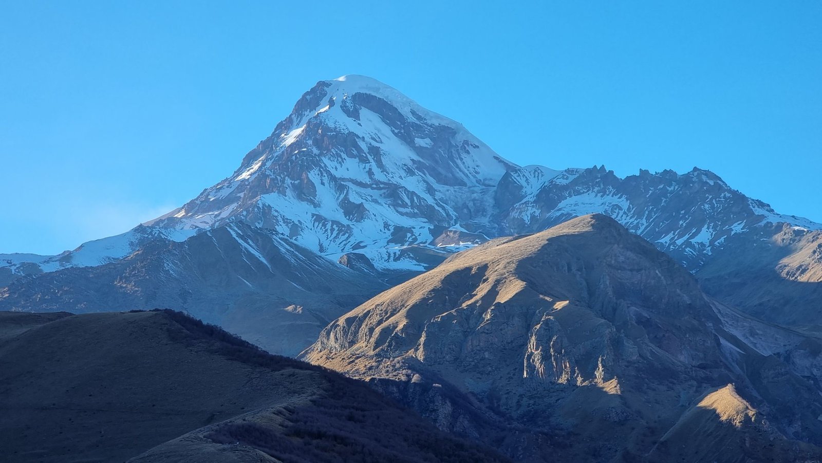
- Stepantsminda (Kazbegi) and Gergeti Trinity Church — the route's ultimate destination for most travelers, with Mount Kazbek as a backdrop
Winter Driving — What You Need to Know
The Georgian Military Highway's biggest practical challenge is winter weather at Jvari Pass, its highest and most exposed section. Snow, ice, and occasional avalanche risk — particularly in January and February — can lead to temporary closures or require snow chains. This isn't a rare inconvenience; it's a normal part of winter travel on this route, and it's exactly why our Georgia Winter Tour Package is built around an experienced winter driver-guide rather than a fixed, inflexible schedule.
Self-Drive vs. Private Driver-Guide
Renting a car to drive the Georgian Military Highway yourself is entirely possible — see our Car Rental page for options — and many confident, experienced drivers do exactly this in good summer conditions. That said, the combination of mountain switchbacks, unfamiliar signage, and genuine winter hazards leads most visitors to prefer a private driver-guide, particularly outside the peak summer months.
A private driver also means the trip moves at your pace rather than a fixed rental return deadline — worth considering if you want time to properly explore Ananuri or linger at the Friendship Monument viewpoint rather than treating the drive as a point-to-point transfer. Our Kazbegi & Gudauri Day Tour covers this exact route, entirely privately.
Best Time to Drive the Georgian Military Highway
June through September offers the most reliable conditions, with clear roads and full access to every stop along the way. May and October are generally still workable but carry a higher chance of weather-related delays at higher elevations. December through February is ski season at Gudauri specifically, but also the period requiring the most caution regarding Jvari Pass conditions. See our full Best Time to Visit Georgia guide for a broader seasonal breakdown.
How Long Does the Drive Take?
Driving straight through from Tbilisi to Kazbegi takes roughly 3 hours without stops, though virtually no one drives it that way — most itineraries budget a full day to properly enjoy Ananuri, Gudauri, and the Friendship Monument along the route, rather than treating it as a rushed transfer.
Practical Preparation
Travel insurance with a minimum of 30,000 GEL coverage has been mandatory for all visitors to Georgia since January 2026 — relevant given the route's genuine mountain conditions. See our Travel Insurance Requirement guide for details. If you're traveling with young children, our Georgia with Toddlers and Infants guide also covers specific considerations for this exact route and altitude.
Frequently Asked Questions
Is the Georgian Military Highway safe to drive?
Yes, in good conditions — the road is well-traveled and maintained. Winter conditions at Jvari Pass require more caution, which is why many visitors prefer a private, experienced driver during that season.
Does the Georgian Military Highway close in winter?
Temporary closures or snow chain requirements are possible at Jvari Pass, particularly in January and February, due to snow and avalanche risk.
How long is the Georgian Military Highway?
Roughly 139km on the Georgian side, from the Tbilisi area to the Russian border near Stepantsminda.
Can I drive the Georgian Military Highway myself?
Yes, with a rental car, though a private driver-guide is generally recommended outside peak summer months given the mountain conditions.
Planning to drive the Georgian Military Highway and want the flexibility of a private guide who knows the route well? Message us on WhatsApp — we're happy to help plan your trip.